Pollution Concerns for Our Dolphins
The above EPA warning from November 6 advises people not to swim in Port Phillip due to stormwater pollution flushed out of the rivers, creeks and drains by the recent storms.
The EPA map tells the story of a polluted catchment where the outflows of the Yarra, Werribee and Patterson Rivers, Mordialloc, Kananook and Tassels Creeks, are pollution hotspots.
We can choose to stay out of the water. Our dolphins and other marine life have no choice.

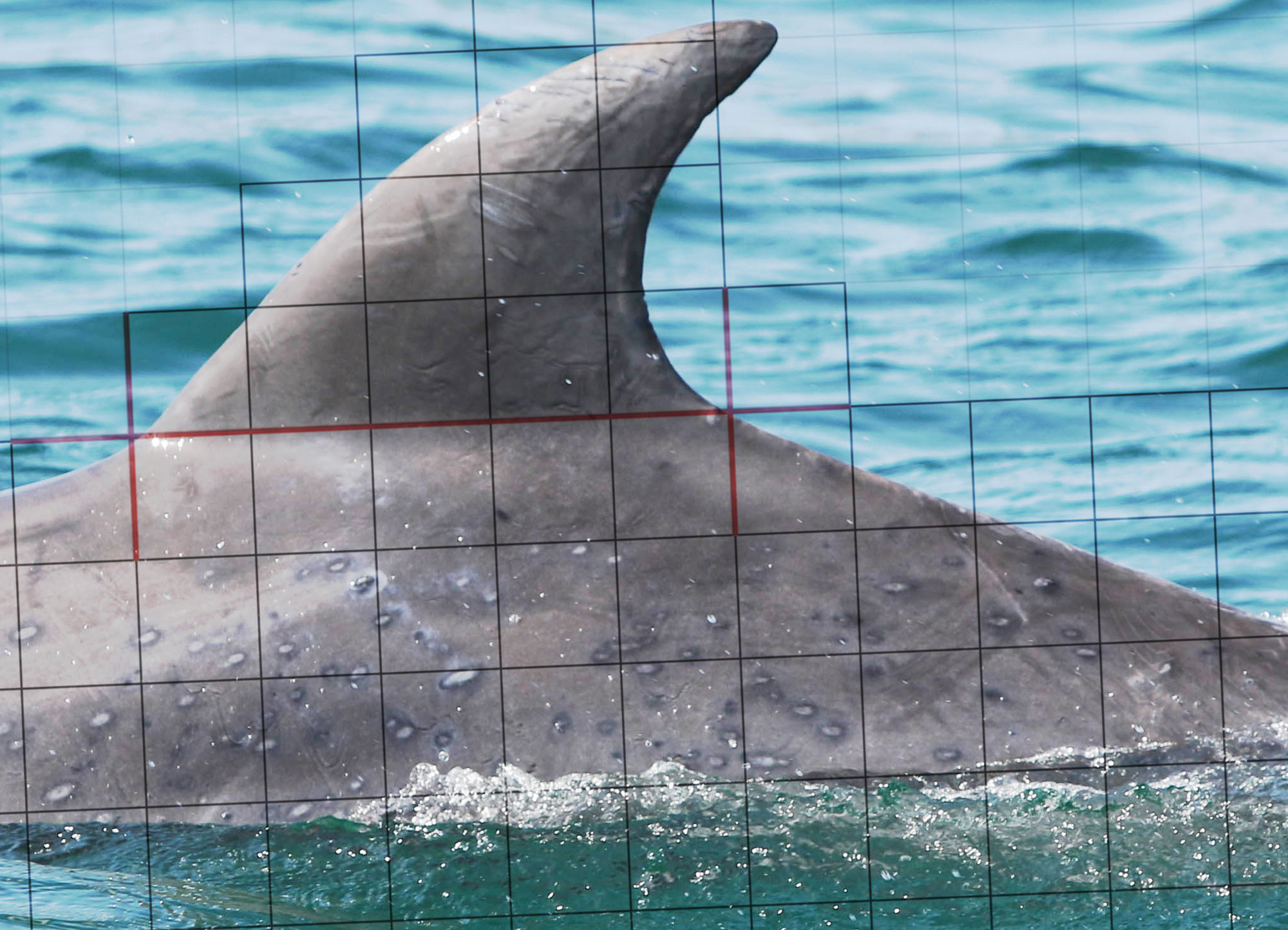
In 2011, when storms ended a decade of drought, our dolphins developed severe skin lesions linked to the change in water quality (above right). Fortunately, our dolphins’ skin healed as the water conditions improved.
Stormwater pollution carrying sediment, nutrients, toxins, chemicals and litter is the major threat to our bay.
The Dolphin Research Institute takes an integrated approach:
- Long-term monitoring of dolphins as “top of the food chain” indicators of ecosystem health. The results are fed into the Port Phillip Environmental Management Plan reports.
- Developing “SkinMap”, a digital tool to track the progression of lesions (the overlayed grid in the image above).
- Surveying Melburnians to find that two-thirds think the rubbish on beaches is left by swimmers, rather the 90% coming from our suburbs.
- Education programs responding the need shown by our surveys – especially our “Don’t Pee in My Pool” program.
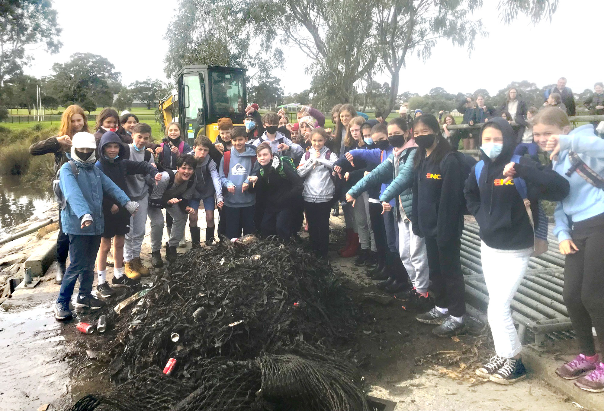
- A core focus of i sea, i care. The image below shows Ambassadors during a stormwater pollution workshop where the putrid contents of material washed from local streets are emptied from a pollution trap. At least this material will go to landfill instead of the bay. They share their experience with their school communities.
Regular vessel surveys to monitor skin health, calving success and other measures will be undertaken in the months ahead. We will keep you updated through e-Bulletins and future snapshots.


