As you leave or return to Sorrento, it’s hard to realise that Southern Port Phillip is really a giant sandbank with narrow channels that allow vessels to navigate.
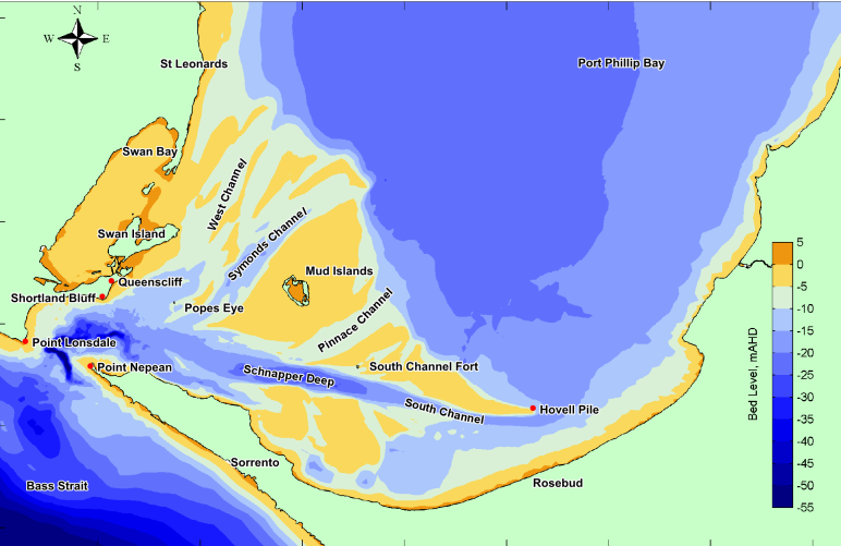
The map shows what they call the Great Sands, with the South Channel – the bay’s largest – connecting the Rip to
The Sorrento Channel connects to the South Channel, giving the only access to larger vessels like the car ferry to navigate to Sorrento Pier.
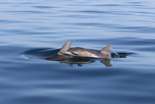
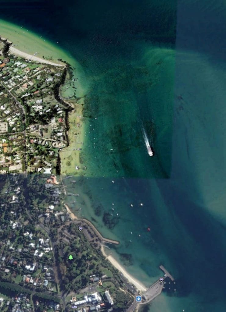
Dolphins are often seen feeding in the shallows where the channels meet. In the image below, the car ferry has just gone through this area as it approaches Sorrento — so keep your eyes open.
The wreck of an old paddle-steamer is visible on the offshore sandbar.
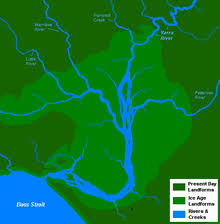
The South Channel is actually the remnants of the Yarra and other rivers that joined up to flow out to Bass Strait at the last ice age. See the map. The rivers gouged deep underwater canyons into what is now the seabed. Many exist today from Portsea and inside Port Phillip Heads.
The Dolphin Research Institute has been caring for our bays and dolphins through Research and Education since 1991. You can support the Institute’s work by Donating or becoming an Adopt-A-Dolphin supporter.
